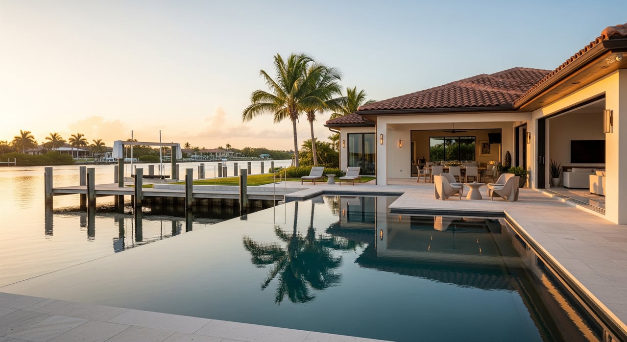
Dreaming of coffee on the dock, manatees gliding by, and sunset cruises straight from your backyard? Merritt Island makes that lifestyle possible, but every waterfront is different. If you want smooth boating, smart insurance choices, and fewer surprises after closing, you need a clear plan. In this guide, you’ll learn how local waterfront types affect access and maintenance, what permits and flood rules to check, and the exact due‑diligence steps to take before you write an offer. Let’s dive in.
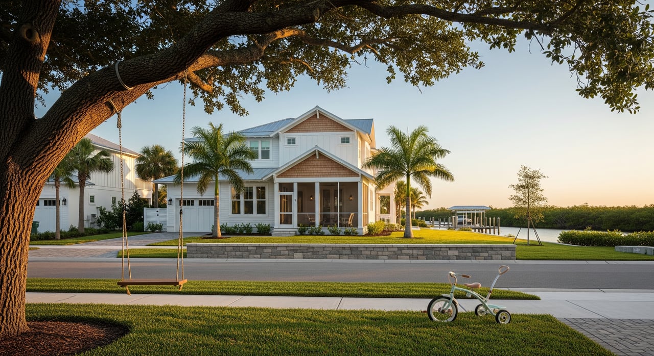
What “waterfront” means here
Merritt Island sits between the Indian River to the west and the Banana River to the east, both part of the Indian River Lagoon system. These waters are brackish, shallow in places, and rich with wildlife. That variety is a perk for lifestyle, but it also means your experience can change canal to canal and riverbank to riverbank. For background on the lagoon’s ecology and water types, see the overview of the Indian River Lagoon.
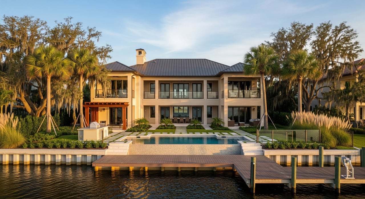
River or Intracoastal-front
You’ll find broader channels and, in many areas, better natural depth along the Indian River side. These homes often appeal if you want bigger water views and more straightforward access to Intracoastal-style routes. Always confirm local depths, wind exposure, and seawall condition.
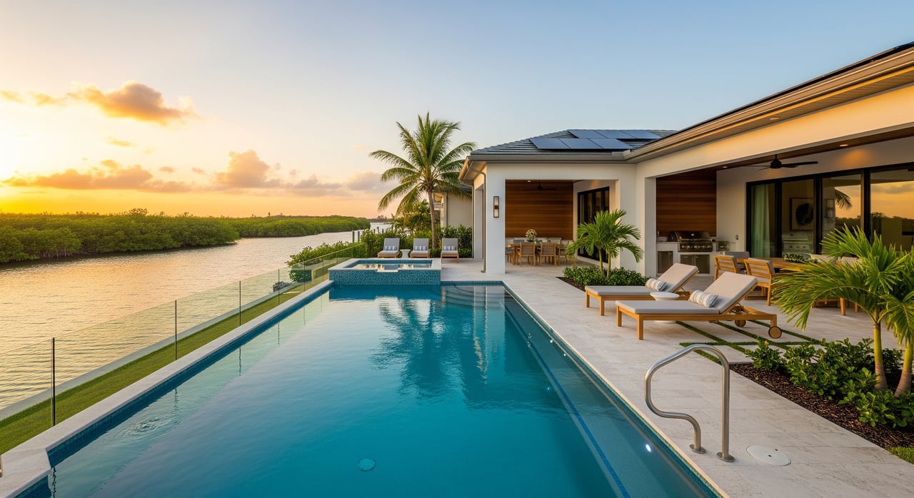
Lagoon-front
Lagoon-facing homes, including Banana River frontage, can offer quieter waters and great wildlife viewing. These areas are often shallower and more protected, which suits kayaks, paddleboards, and smaller boats. If you plan to keep a larger vessel, pay close attention to your route to deeper channels.
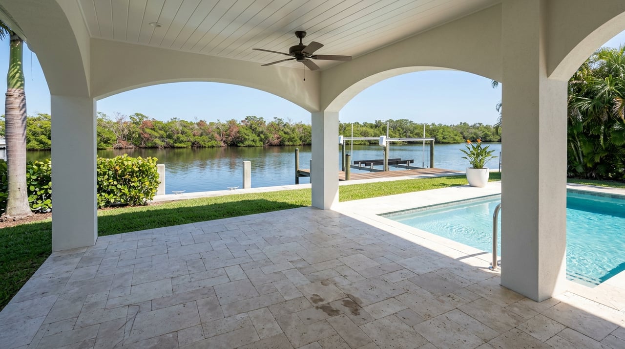
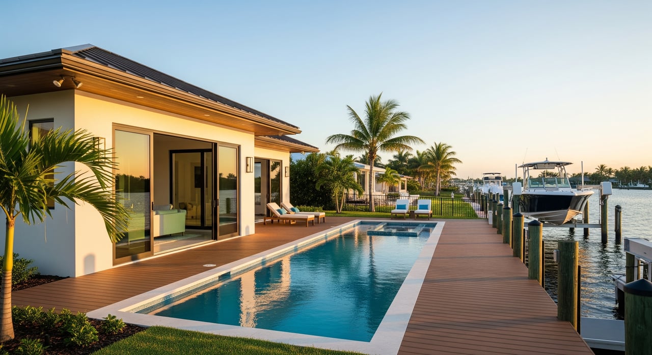
Canal-front
Man‑made canals are common and create convenient small‑boat access. Depths can vary a lot by neighborhood, and some canals require periodic dredging or have private maintenance agreements that affect costs. Ask early about dredging history, assessments, and who maintains navigation.
Near-ocean access
If ocean runs matter to you, look north. The Canaveral Barge Canal connects Merritt Island’s waterways to Port Canaveral and the Atlantic. Not every parcel has the same route or depth to reach that canal, so verify bridge clearances, channel depths, and any locks or bascule bridges that affect your boat.
Boating access checks
Before you fall in love with a view, confirm how you will actually get on the water.
- Depth to your dock: Trace the route from your slip to a maintained channel and note the shallowest stretch. Ask neighbors about seasonal shoaling.
- Bridge clearances: Measure your air draft against bridges on your route. Some bridges and powerlines set practical limits.
- Dock and lift condition: Check pilings, decking, hardware, and lift capacity. Replacement costs add up fast.
- Route to the ocean: If you need blue‑water access, confirm your path connects efficiently to the Canaveral Barge Canal and Port channels.
Permits, habitat, and rules
Waterfront structures have layers of oversight. Plan ahead so your project and closing stay on track.
- County permits: Docks, seawalls, and boat lifts need local approval. Review the parcel’s permit history, inspections, and any as‑built drawings through Brevard County’s residential marine construction page.
- Mangrove trimming: Mangroves are protected. Trimming or removal is tightly regulated, with specific methods and timing. Read the state’s rules in the Florida DEP mangrove FAQ.
- Federal coordination: Many in‑water structures and any dredging fall under state‑federal programs. Smaller docks may qualify under general permits, while larger or habitat‑impacting work can need individual authorization. See the U.S. Army Corps’ State Programmatic General Permit.
- Refuge and slow‑speed zones: Merritt Island’s nearby national wildlife refuge includes sensitive habitats with posted rules on boating and access. Before you buy, review maps and guidance from the Merritt Island National Wildlife Refuge.
Flood, insurance, and long‑term risk
Coastal insurance and flood planning are part of owning here. Get clarity up front so your loan and budget align with the property.
- FEMA flood maps: Ask for the property’s FEMA FIRM panel and any Elevation Certificate. Brevard County is the local source for panels and Base Flood Elevations. Start with the county flood zone information.
- Elevation Certificates and NFIP: FEMA’s Elevation Certificate is still valuable under Risk Rating 2.0 for National Flood Insurance Program pricing. If one is not on file, budget to order it during inspection. Learn how it works on FEMA’s Elevation Certificate page.
- Homeowner and wind coverage: Florida’s coastal market is unique. If private insurers will not write your policy, Citizens serves as the state insurer of last resort. Get quotes early and ask about wind‑mitigation benefits. Read about Citizens’ role here.
- Water quality and the lagoon: The county’s Save Our Indian River Lagoon program funds projects to improve water quality and restore seagrass. Conditions vary by area, which can affect boating, fishing, and water clarity. Review the program’s project plan and updates.
Maintenance and budgets
Owning on the water means caring for structures that live in a harsh, salty environment. Plan for life‑cycle costs, not just move‑in fixes.
- Seawalls and bulkheads: Materials range from vinyl and concrete to rock revetments. Lifespans vary with exposure and build quality. Older walls may need tieback repairs or replacement.
- Docks and lifts: Routine inspection of pilings, decking, hardware, motors, and electrical is essential. Budget for periodic re‑decking and lift maintenance.
- Get three local bids: Site conditions drive price. A narrow canal, barge access limits, or required environmental mitigation can shift costs significantly. Use written quotes to inform negotiations.
- Consider living shorelines: In lower‑energy settings, oyster, marsh, or mangrove plantings with limited rock can reduce long‑term maintenance while supporting habitat. These are not suitable everywhere, so verify feasibility with permitting staff and a coastal professional.
Your smart buyer checklist
Use this step‑by‑step list when you tour and before you submit an offer.
- Flood and elevation documents
- Ask the seller for any Elevation Certificate, the property’s FEMA FIRM panel, and any letters of map change. Get an NFIP quote during inspection to confirm premiums.
- Permit and title records
- Pull county permit history for the dock, seawall, and lift. Request as‑built drawings, warranties, and proof that past permits closed properly.
- Seawall inspection
- Document age, materials, tiebacks, movement, and prior repairs. If replacement may be needed, get contractor estimates now and consider an engineer’s opinion.
- Dock and lift survey
- Have a qualified marine contractor inspect pilings, framing, lift motors and cables, and dock electrical. Order an underwater check if you plan to berth a larger boat.
- Navigation and dredging
- Confirm the route from your dock to maintained channels, note bridge clearances, and ask for any dredging schedules or special assessments. Verify whether a neighborhood MSBU or HOA manages canal maintenance.
- Environmental constraints
- Identify mangroves or seagrass near the shoreline and ask how past work was permitted and mitigated. Document whether view trimming or access changes are possible within the rules.
- Insurance and lender pre‑checks
- Get homeowner, wind, and flood quotes now. Ask your lender about required coverages, wind‑mitigation inspections, and whether a Citizens policy affects your loan terms.
- Negotiation allowances
- Price out immediate items like seawall repairs, dock re‑decking, lift upgrades, or dock electrical. Request seller credits or repairs, and keep inspection contingencies in place until you receive three written bids for major items.
Lifestyle tradeoffs to weigh
- Quiet waters vs quick depth: Protected canals are calm for paddling but can be shallow for larger boats. River frontage gives views and breeze but may add wave energy and seawall wear.
- Wildlife and zones: Manatees and seagrass make this place special, and slow‑speed zones protect them. Plan boat outings and travel times with these zones in mind.
- Access to ramps and marinas: Even with a private dock, it helps to live near a public ramp or service marina for fueling, haul‑outs, and guest launching. Check nearby options and typical weekend traffic.
How we help you buy with confidence
Waterfront deals reward good homework. We guide you through the details that matter here on Merritt Island, from permit records and elevation data to seawall inspections and insurance quotes. If you want a place that fits your boat, your budget, and your lifestyle, we’ll help you match the right shoreline to your goals and negotiate with clarity.
Ready to explore listings or talk through a specific property? Reach out to The Flamm Team for local guidance that blends personal service with technical know‑how.
FAQs
What counts as “waterfront” on Merritt Island?
- It can mean river or lagoon frontage, a canal home with small‑boat access, or a route to the ocean through the Canaveral Barge Canal. Each option has different access and maintenance needs.
Do all Merritt Island homes have ocean access?
- No. Many canal and lagoon routes are shallow or limited by bridges. If ocean runs matter, verify your path to the Canaveral Barge Canal and confirm depths and clearances.
How do I check a home’s flood zone and elevation?
- Ask for the FEMA FIRM panel and any Elevation Certificate, then confirm details with Brevard County’s floodplain office and get early insurance quotes to validate premiums.
What permits do I need for a new dock or lift?
- Docks, lifts, and seawalls require county permits and often state or federal approvals, especially if mangroves or seagrass are present. Review county records and consult DEP and USACE guidance.
What should I budget for dock or seawall work?
- Costs vary widely by length, materials, access, and required mitigation. Skip per‑foot rules of thumb and get three written bids after a site visit to set realistic numbers.
Can I trim mangroves to improve my view?
- Only within strict state rules and often with permits. Confirm what is allowed for your shoreline before planning any trimming or removal.